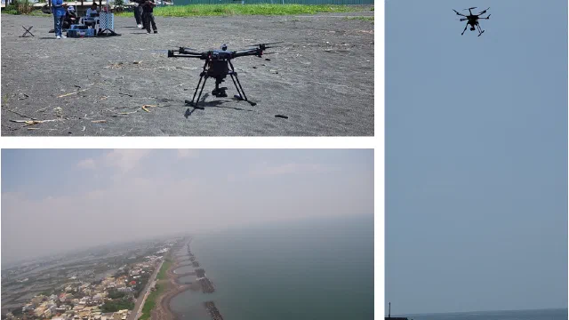
OilWATCH Oil Pollution Detection Technology
Long-wave infrared polarimetric imaging and deep learning on UAVs for real-time detection and quantification of oil pollution in coastal waters.
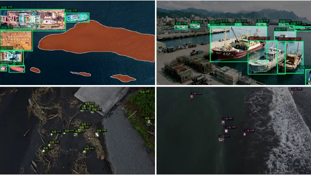
MODISQ Marine Intelligent Detection, Identification, and Quantitative Analysis Platform
An AI platform integrating image management, inference, and spatial display for pollution monitoring, coastal inspection, and vessel tracking.
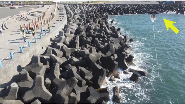
UAV Water Quality Sampling Technology
A UAV with an in-house sampling module collects surface water safely and efficiently in wetlands, estuaries, and nearshore waters.
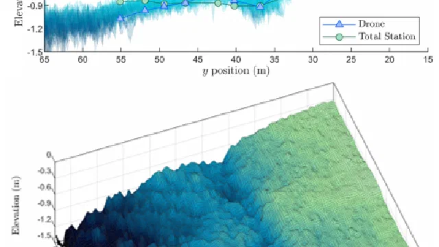
Ultra-Nearshore Underwater Bathymetry Mapping Technology
Image observation, flow-field analysis, and depth inversion enable rapid, non-contact bathymetry mapping in shallow nearshore zones.
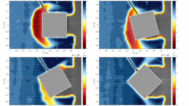
Extreme Wave Impacts on Marine Structures
Laboratory measurements of impact pressure, velocity, and air fraction from water entry, greenwater, and tsunami bore impacts on structures.
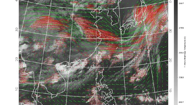
Atmospheric Motion Vector Retrieval Technology
PIV-based tracking of cloud displacement in sequential satellite imagery to retrieve large-area atmospheric wind fields.
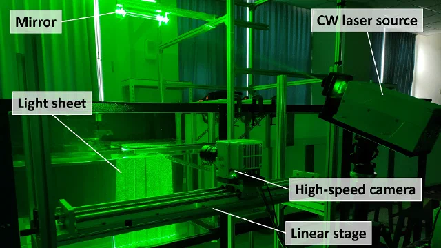
Fluid Mechanics Measurement Technology
The Neptune wave flume, focused wave generation, and image velocimetry for reproducing and measuring extreme wave flows.